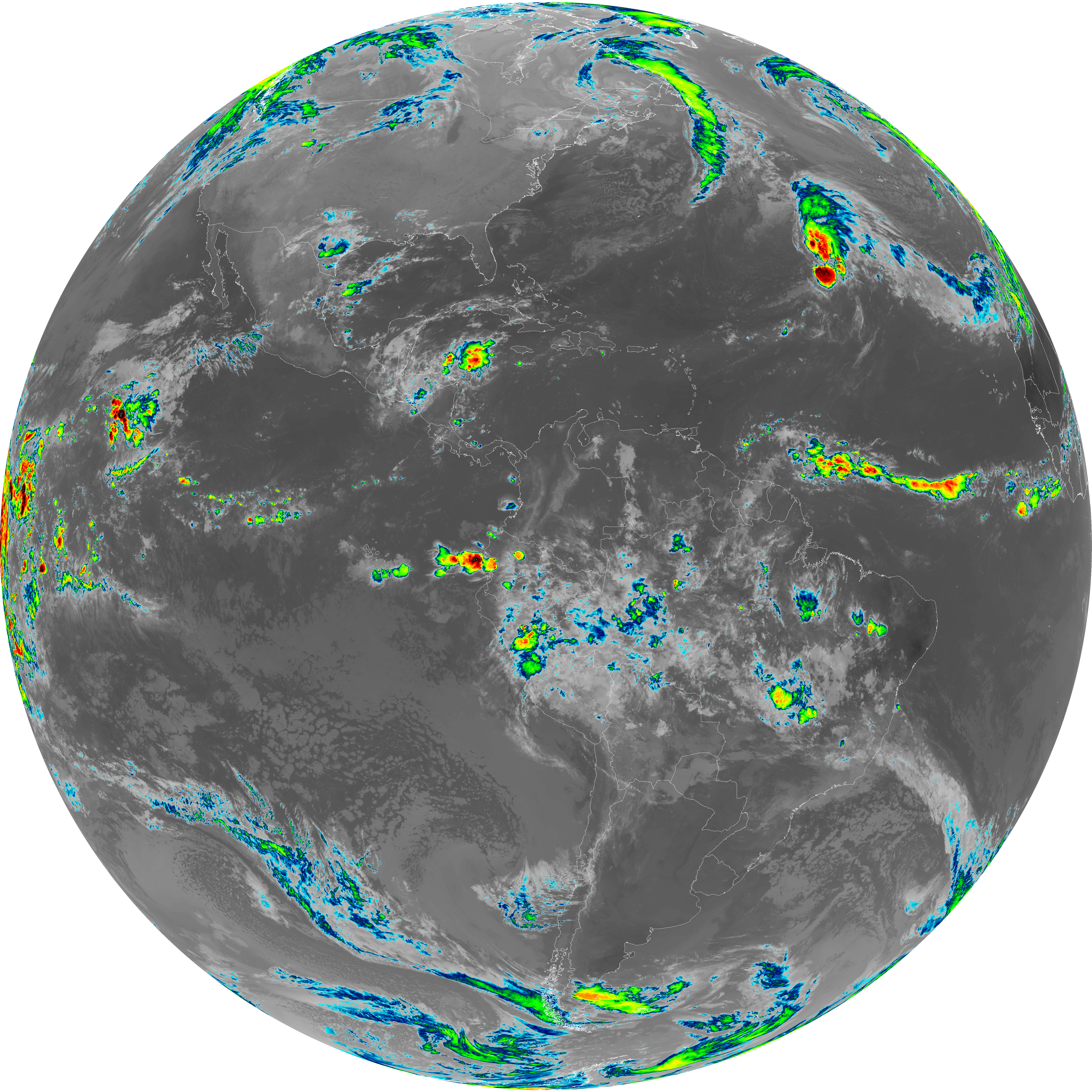
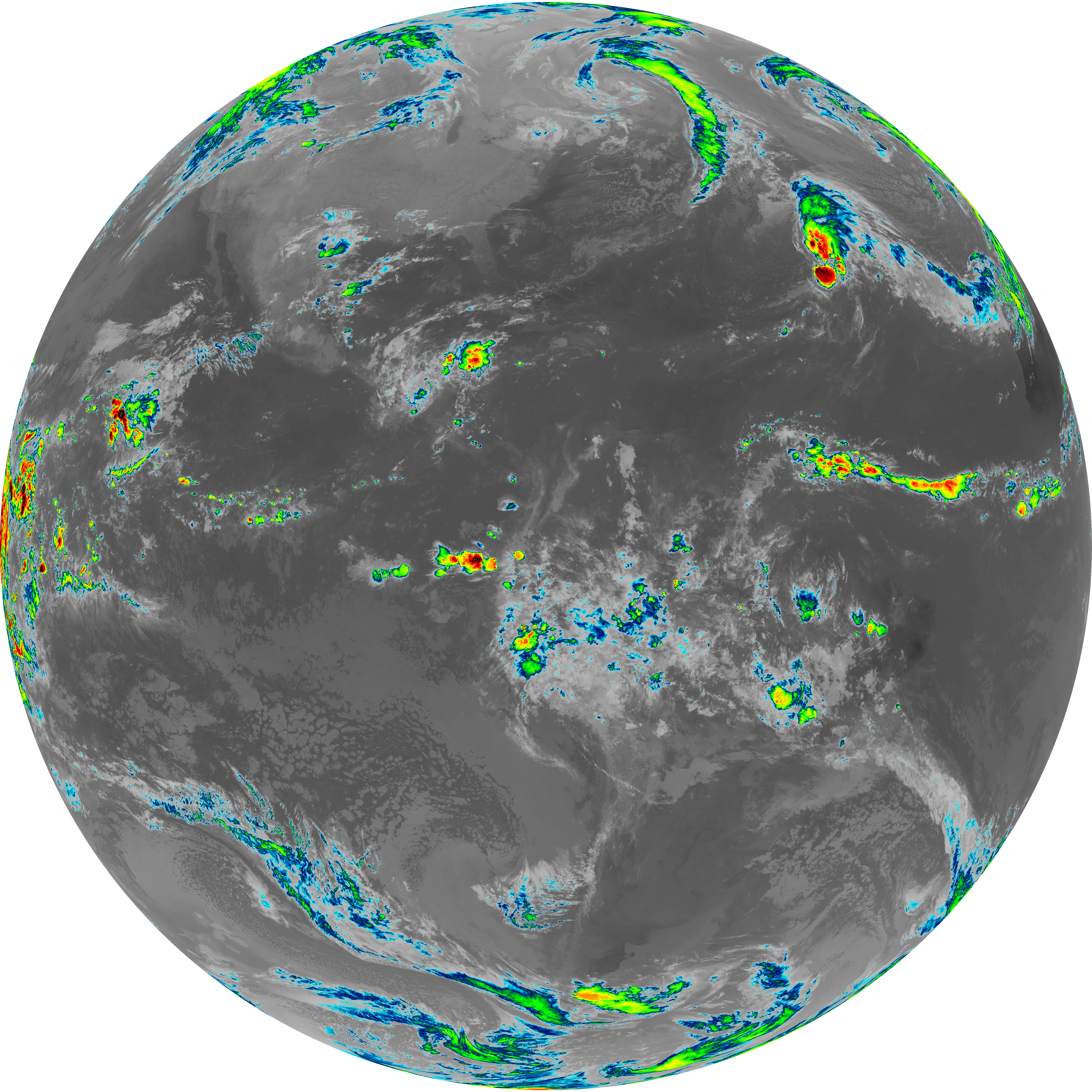
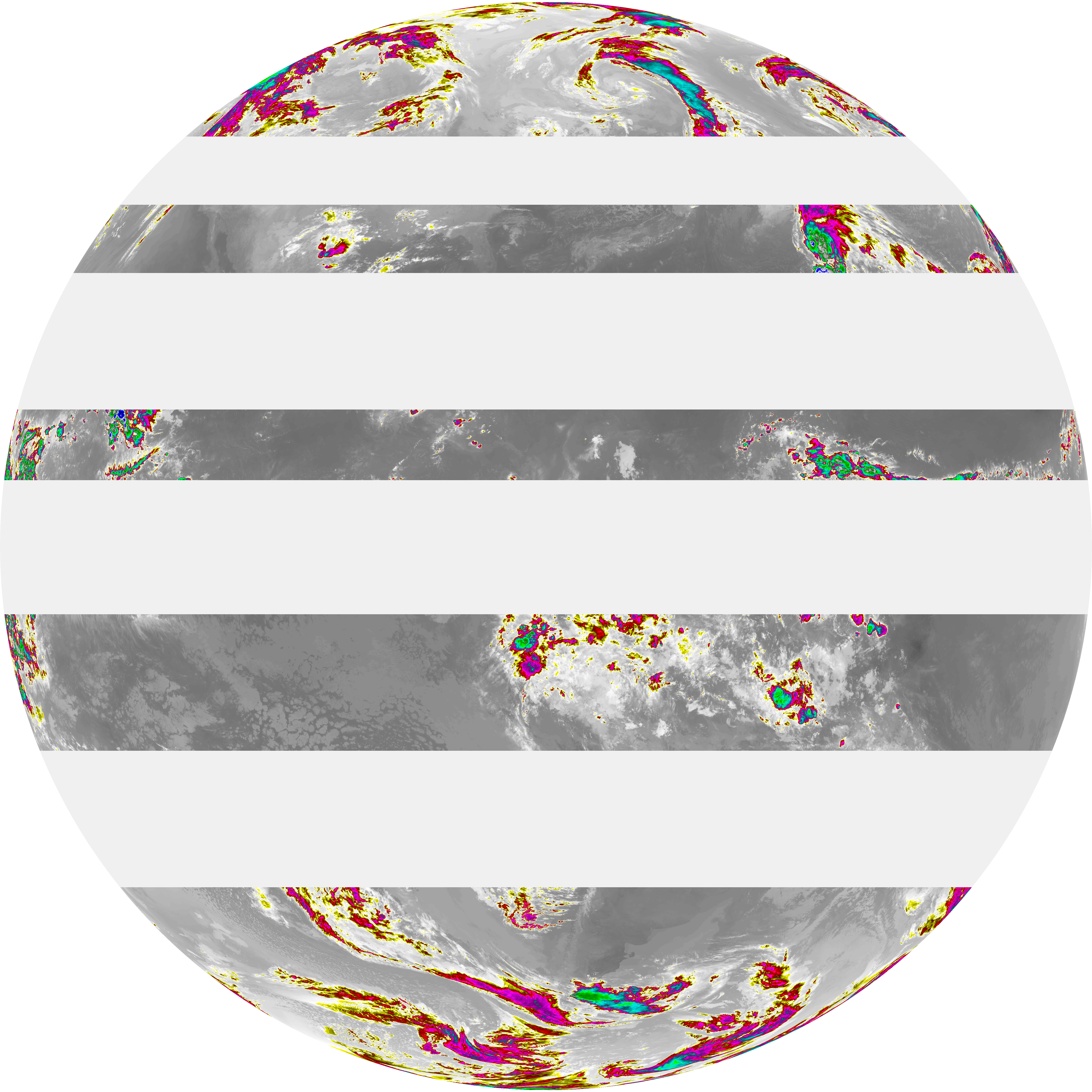
Quicklook PNGs and RGB composites produced from GOES ABI scans. GOES-19 is the current production feed; GOES-16/18 folders retain historical context.
Each timestamp folder contains ABI bands (G19_13_YYYYMMDDThhmmssZ.png), RGB composites, and a product.cbor metadata file. Preserve these .cbor files when copying imagery if you intend to use them in satdump-ui or other tools for processing satellite imagery as they contain important image metadata.
| File Name ↓ | File Size ↓ | Date ↓ |
|---|---|---|
| Parent directory/ | - | - |
| abi_rgb_Infrared_Longwave_Window_Band_map.png | 13015882 | 2026-Nov-09 11:25 |
| abi_rgb_Infrared_Longwave_Window_Band.png | 12972005 | 2026-Nov-09 11:25 |
| G19_14_20261109T110022Z.png | 9665763 | 2026-Nov-09 11:25 |
| abi_rgb_Mid-level_Tropospheric_Water_Vapor_map.png | 7945369 | 2026-Nov-09 11:23 |
| abi_rgb_Mid-level_Tropospheric_Water_Vapor.png | 7838118 | 2026-Nov-09 11:23 |
| abi_rgb_Upper-Level_Tropospheric_Water_Vapor_map.png | 6853427 | 2026-Nov-09 11:21 |
| abi_rgb_Upper-Level_Tropospheric_Water_Vapor.png | 6736747 | 2026-Nov-09 11:21 |
| abi_rgb_Dirty_Longwave_Window_map.png | 6513954 | 2026-Nov-09 11:56 |
| abi_rgb_Dirty_Longwave_Window.png | 6418160 | 2026-Nov-09 11:56 |
| G19_9_20261109T110022Z.png | 5849664 | 2026-Nov-09 11:22 |
| abi_rgb_Dirty_Longwave_Window_-_CIRA_map.png | 5785946 | 2026-Nov-09 11:56 |
| abi_rgb_Dirty_Longwave_Window_-_CIRA.png | 5686546 | 2026-Nov-09 11:56 |
| G19_8_20261109T110022Z.png | 5085561 | 2026-Nov-09 11:20 |
| G19_15_20261109T110022Z.png | 4727064 | 2026-Nov-09 11:56 |
| product.cbor | 8856 | 2026-Nov-09 11:56 |