This directory hosts downlinked GOES products captured via SatDump. Content is organized by product family so operators and visitors can locate the feeds they need quickly.
| File Name ↓ | File Size ↓ | Date ↓ |
|---|---|---|
| Parent directory/ | - | - |
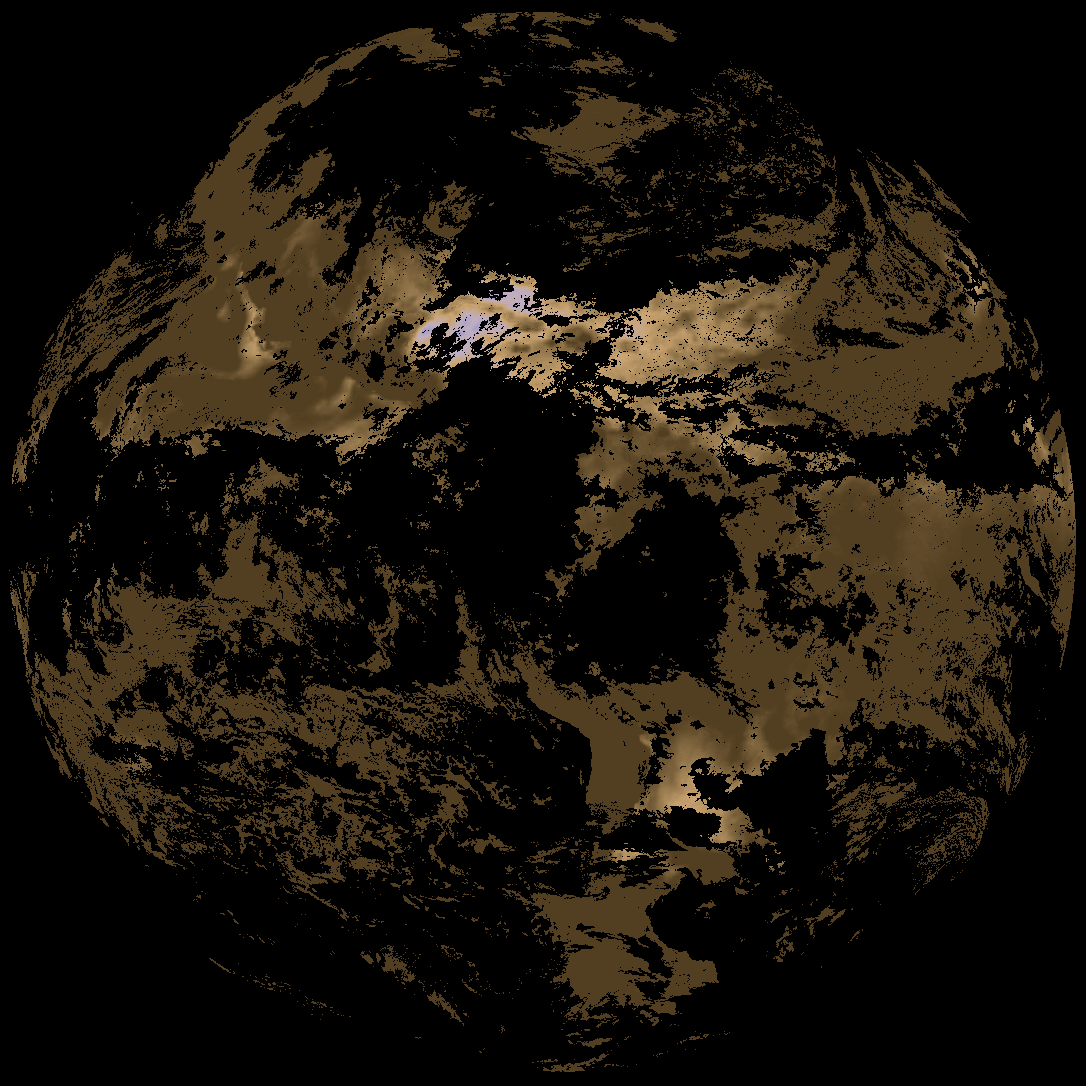
| abi_rgb_Derived_Stability_Indices_-_CAPE_map.png | 179991 | 2026-Nov-02 08:04 |
| abi_rgb_Derived_Stability_Indices_-_CAPE.png | 166298 | 2026-Nov-02 08:04 |
| G19_DSI_20261102T075021Z.png | 127014 | 2026-Nov-02 08:04 |
| product.cbor | 625 | 2026-Nov-02 08:04 |
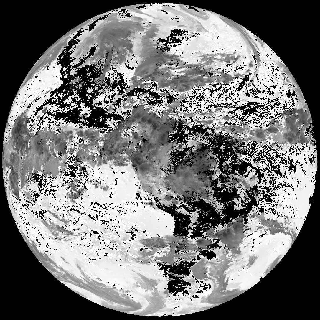
| abi_rgb_AWG_Cloud_Height_Algorithm_(ACHA).png | 936078 | 2026-Nov-02 08:03 |
| abi_rgb_AWG_Cloud_Height_Algorithm_(ACHA)_map.png | 938049 | 2026-Nov-02 08:03 |
| G19_ACHA_20261102T075021Z.png | 668480 | 2026-Nov-02 08:03 |
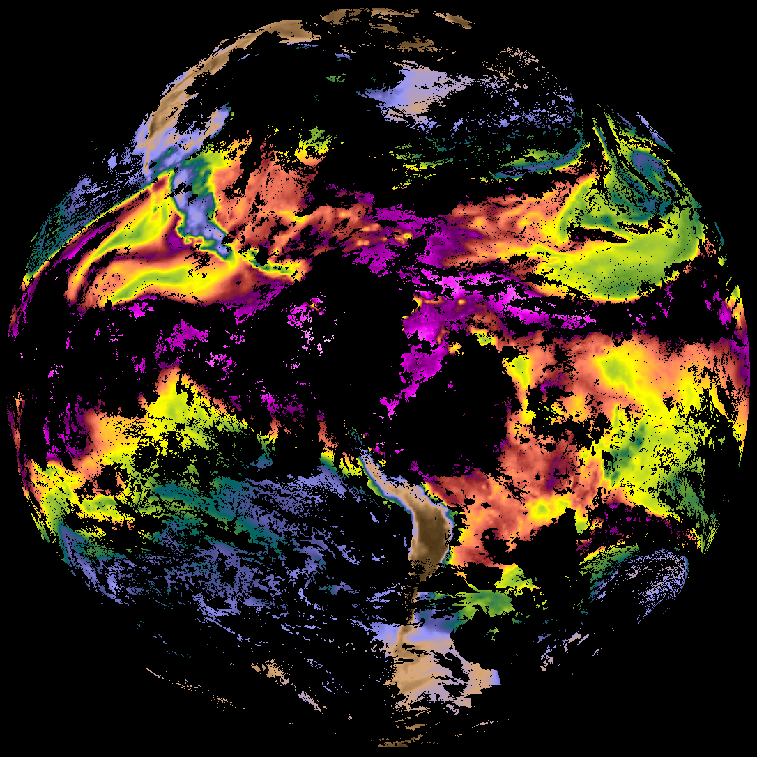
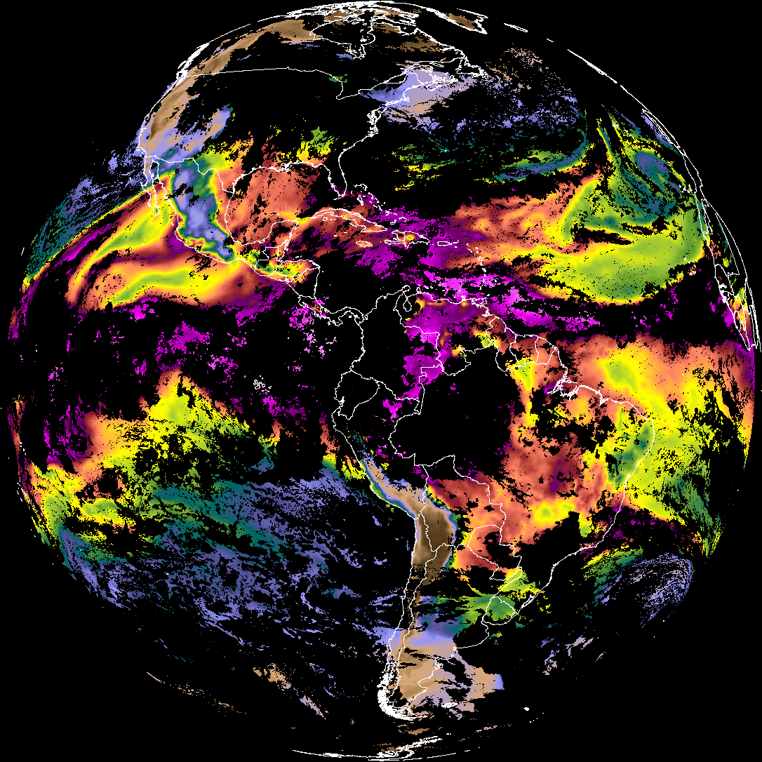
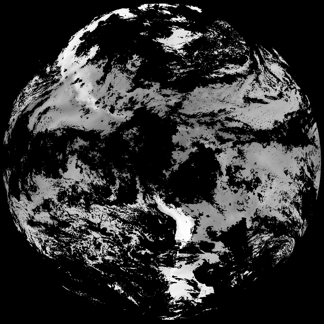
| abi_rgb_Total_Precipitable_Water.png | 307008 | 2026-Nov-02 08:02 |
| abi_rgb_Total_Precipitable_Water_map.png | 319243 | 2026-Nov-02 08:02 |
| G19_TPW_20261102T075021Z.png | 234337 | 2026-Nov-02 08:02 |
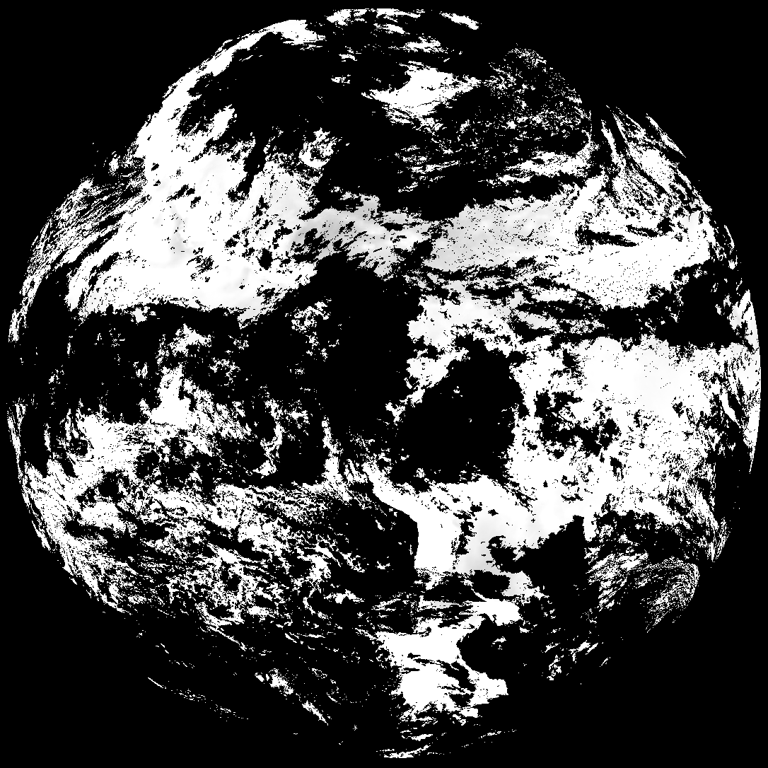
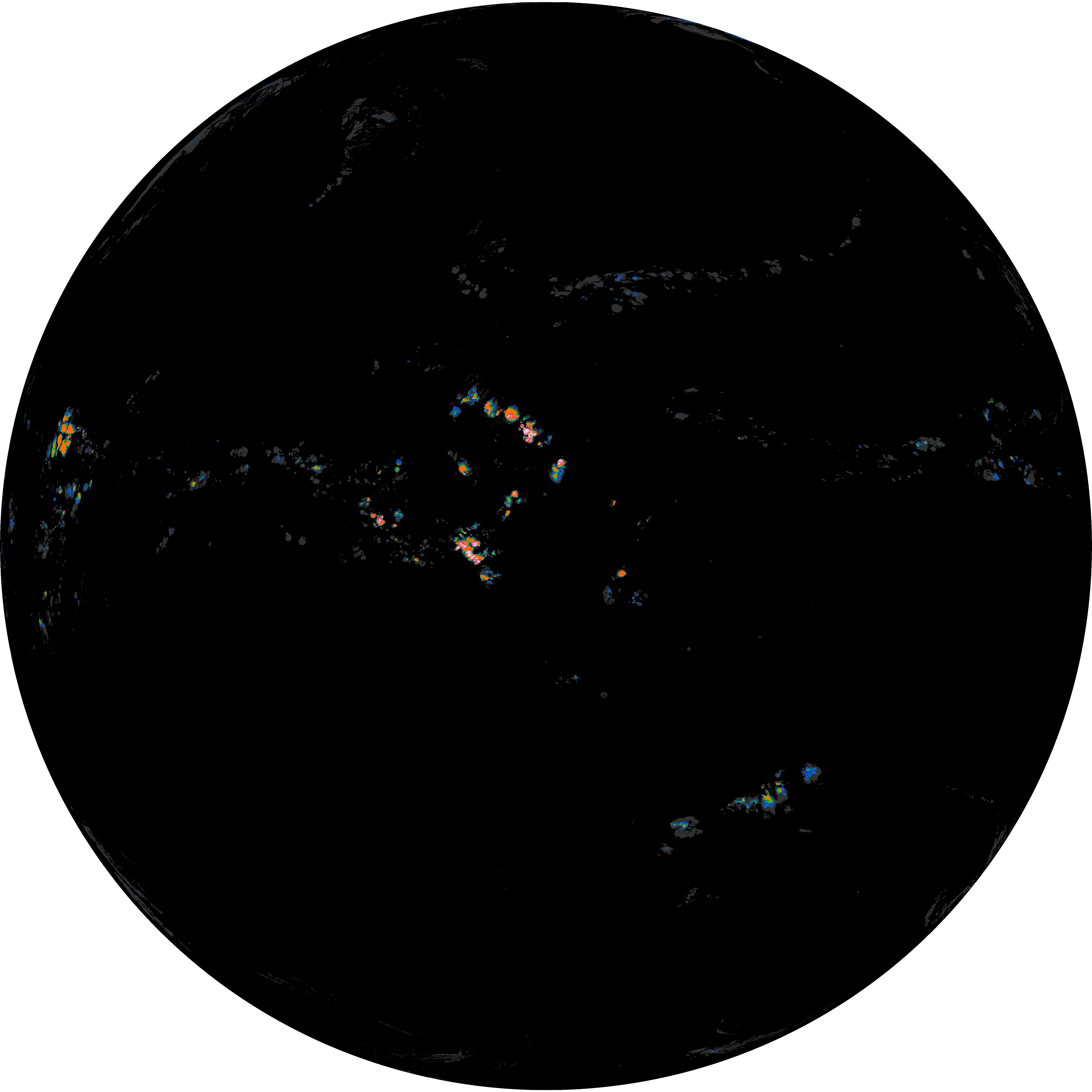
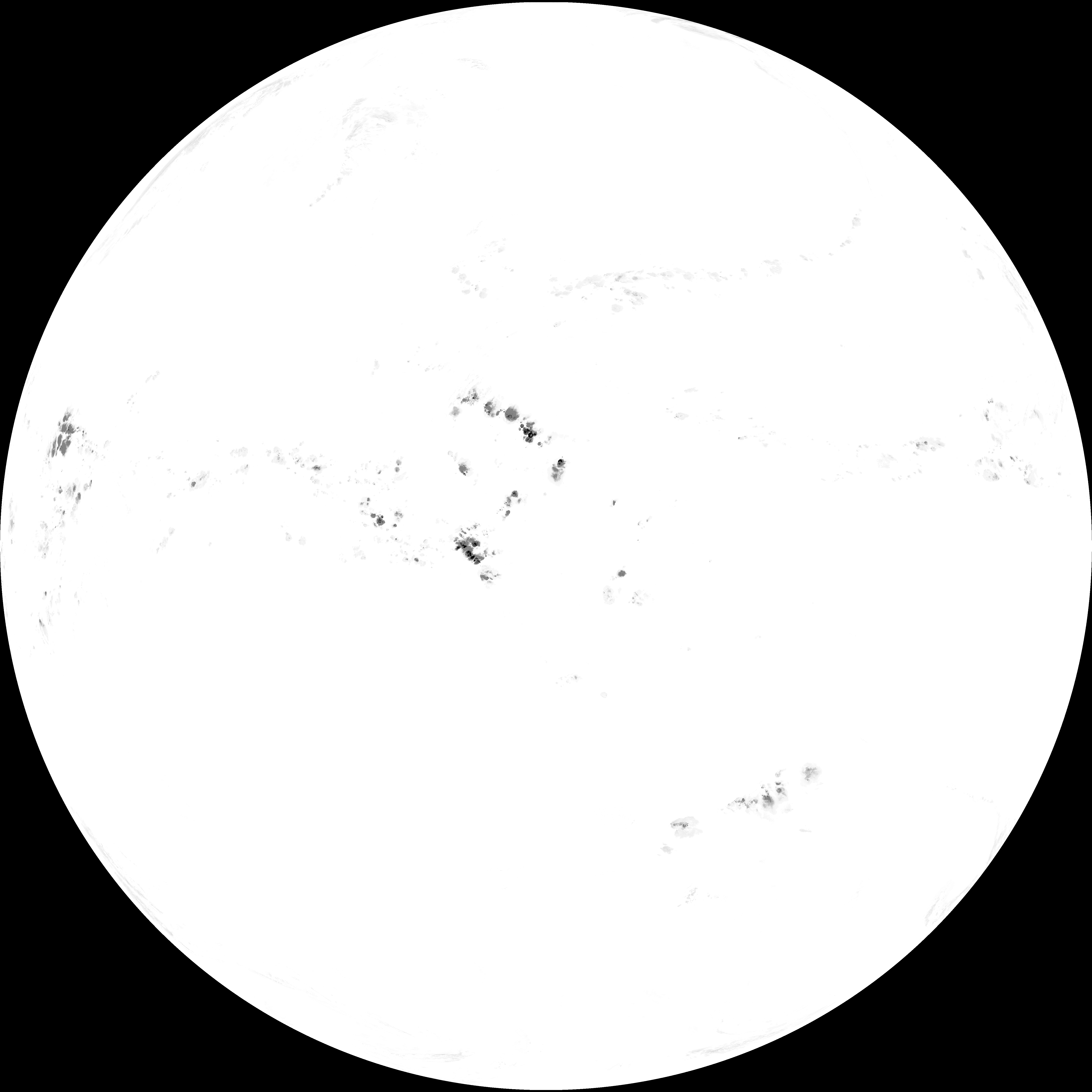
| abi_rgb_Rain_Rate_Per_Quarter_Hour_map.png | 698604 | 2026-Nov-02 08:01 |
| abi_rgb_Rain_Rate_Per_Quarter_Hour.png | 529101 | 2026-Nov-02 08:01 |
| G19_RRQPE_20261102T075021Z.png | 697726 | 2026-Nov-02 08:01 |